What we do
Integration and analysis of multi-source spatial data
Linked Data
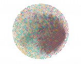
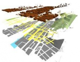
Linked Data is an idea which assumes that all objects of human knowledge can be described using simple clauses – an enormously ambitious task, but according to the founders doable. We use linked data model along with database query language SPARQL to store, process and present geographic data. Example is the Polish - Norwegian collaboration project InCoNaDa (Enhancing the user uptake of Land Cover / Land Use information derived from the integration of Copernicus services and national databases). Linked data turned out to be very helpful during other scientific project called EO4GEO, in which innovative and interactive database of resource describing ontology for the EO/GI fields has been created using this model.
Education and training

With increasing access to vast amounts of spatial data and rapid technological progress, there is a need to disseminate knowledge about the use of data and technology. CGS staff members are active in the field of education and popularization of science, participating in scientific picnics and workshops in remote sensing and GIS for audiences at different levels of expertise

