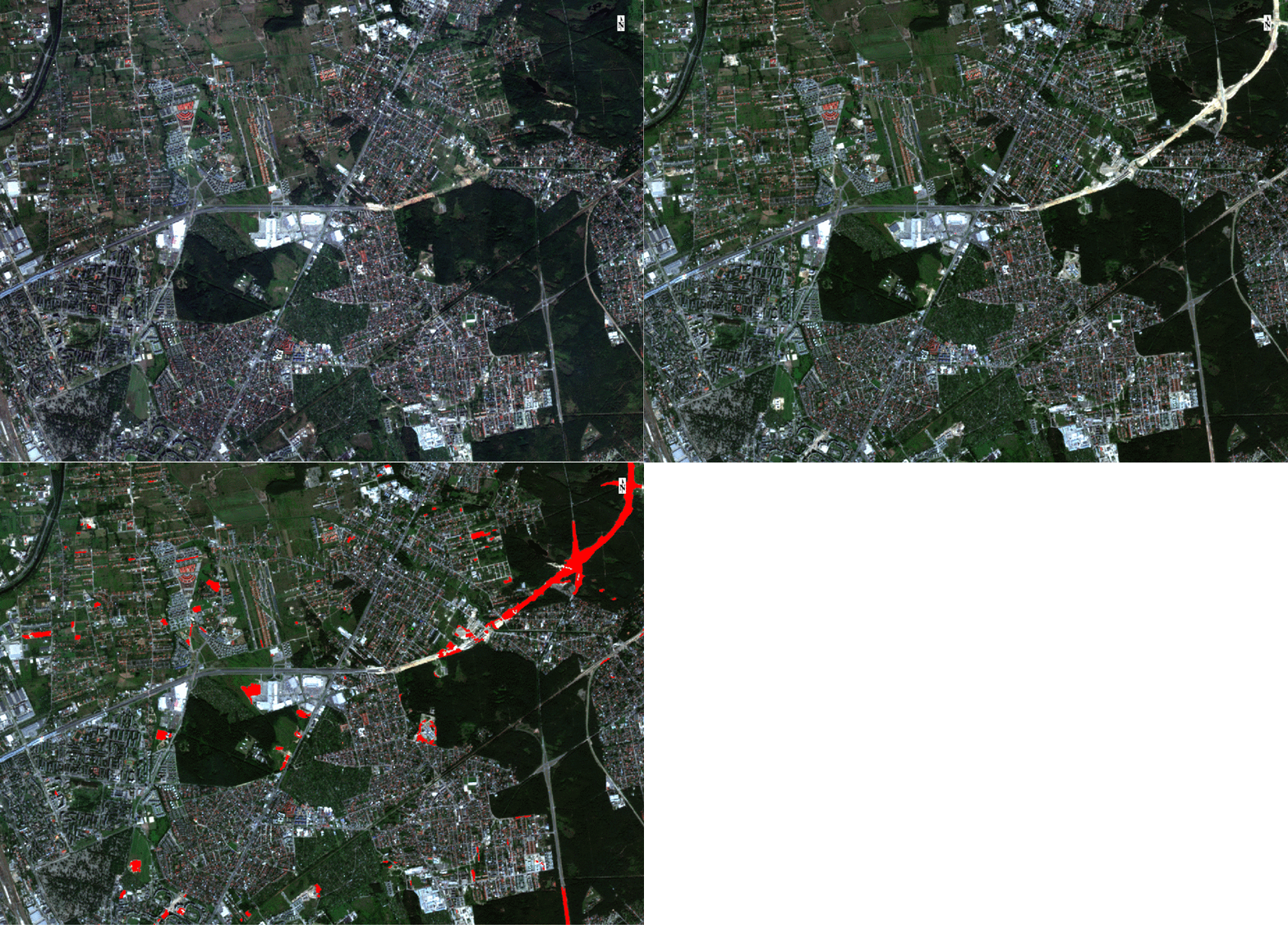
Change detection and monitoring
Detection of changes occurring on the earth's surface and monitoring of their dynamics and direction is required in many areas of economy. On the basis of analysis of multi-temporal satellite or aerial images we can obtain information about the size, direction and time when the change occurred. In case of small topographic or infrastructural objects, often aerial photos or commercial satellite images with very high spatial resolution are used. Satellite images with high and medium spatial resolution (e.g. from Sentinel-2 or Landsat missions) are used for monitoring changes on a larger area (county, region or country scale). In the SAT4est project carried out by the Center's team, we have developed a method for the detection of changes in the forests on the basis of multi-temporal Sentinel-2 images. The detected changes provide SAT4est service, and are used for further spatial analysis. We also conduct work related to automatic detection of changes associated with newly built infrastructure and buildings in urban space.

