BioPar - validation of global satellite-based biophysical products
BioPar (Biogeophysical Parameters Core Mapping Service)
Cooperation:
The French National Institute for Agricultural Research (INRA)
Within the frame of Geoland2 BioPar Core Mapping Service, Remote Sensing Centre at IGiK in cooperation with The French National Institute for Agricultural Research (INRA) participated in validation of BioPar satellite products. BioPar is a comprehensive set of followed biophysical products that cover the whole globe and are updated every 10 days:
- the Leaf Area Index (LAI)
- The Fraction of Absorbed Photosynthetically Active Radiation
- the Normalized Difference Vegetation Index (NDVI)
- the Fraction of green vegetation Cover (FCover)
- the surface albedo
- the Dry Matter Productivity (DMP)
- the Normalized Difference Water Index (NDWI)
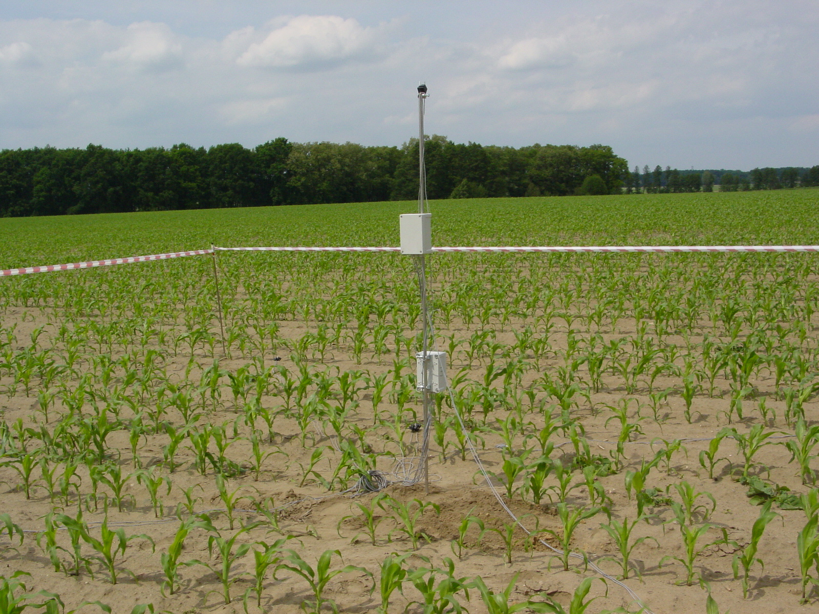
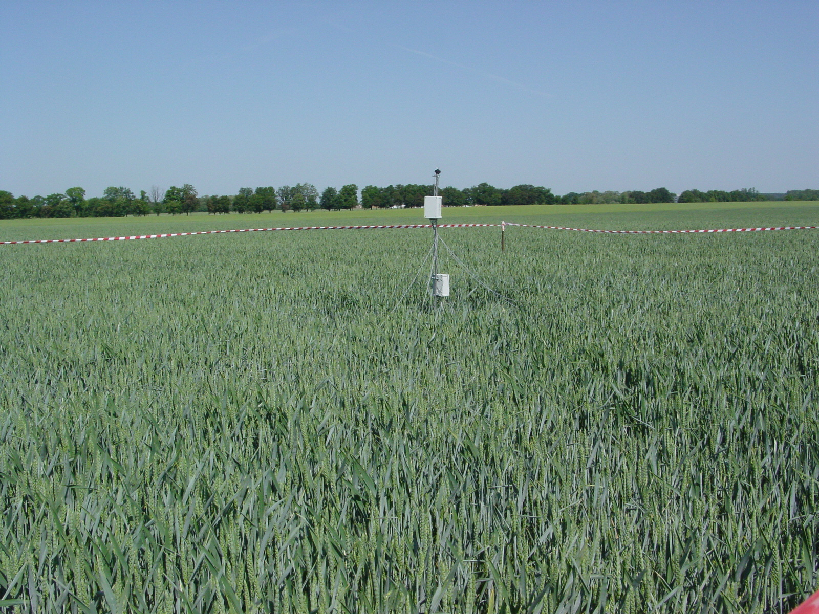
For the validation process new Plant Area Index Autonomous System from Transmittance Sensors at 57° (PASTiS57° systems) were applied. PASTiS57° systems record canopy transmittance and deliver green leaf area data (LAI) and plant area index data (PAI). The systems were mounted in Poland, at Wielkopolska agriculture field sites over followed crops: winter wheat, winter rye, spring barley, spring oat, triticale, rape, corn, sugar beet, grass and alfalfa.
For more info on PASTiS57° systems see LINK.
The photos present PASTiS57° systems mounted over corn (on the left) and winter wheat (on the right) crops.

