Remote sensing based assessment of woody biomass and carbon storage in forests


RemBioFor - Remote sensing based assessment of woody biomass and carbon storage in forests
Project leader: Forest Research Institute
Duration of the project: 11.02.2015 – 30.06.2018
The aim of the project is to develop a complex methodology determining the forest stand descriptions and developing the state-of-the-art aboveground biomass and carbon content retrieval methods based on remote sensed and in situ data. The results of the project will be used to for the purposes of forest management planning. The project encompasses the forest ground inventories, terrestrial and airborne laser scanning and satellite based data. The project is led by the Forest Research Institute.
Read more information: http://rembiofor.pl/en/
The role of the Remote Sensing Center of IGIK is to investigate and develop methods for forest above ground biomass retrieval based on various satellite radar data i.e. ALOS-2 (L-band), Sentinel-1 (C-band), TerraSAR-X (X-band) that will be suitable for forest habitats and types present in Poland. The forest inventory data collected during the RemBioFor project will be used as the reference data.
Task leader: PhD Dariusz Ziolkowski
Contact: dariusz.ziolkowski@igik.edu.pl
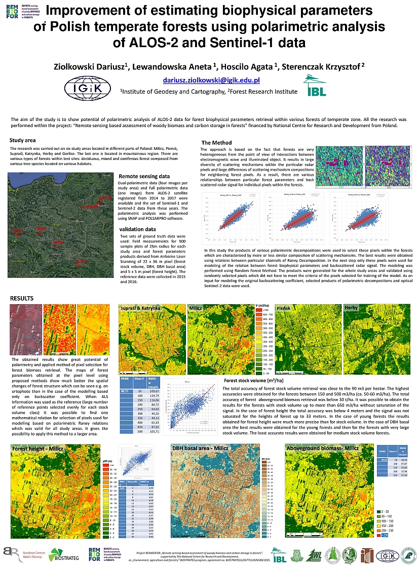
Poster presenting the researches conducted at Remote Sensing Centre in RemBioFor project
